
Sussex has a wide diversity of designed parks, gardens and green spaces but those we are most interested in researching will have a significant element of design history.
The purpose of our recording and research programme is to establish, as a long-term aim, a comprehensive and accurate database of site information and significance that is freely available to our members, the public and local authorities alike. This is key to enabling all parties to help in the protection, conservation and evolution of our parks and gardens so that they may be enjoyed by generations to come.
Parks and gardens with historic designed landscapes which are deemed of national importance have already been recorded and are held on Historic England’s National Heritage List for England (NLHE). This can be found on the web sites of Historic England or Parks & Gardens and also via our Registered Parks & Gardens page.
In addition to the Register of Parks & Gardens, SGT has created an Inventory of Sussex Parks and Gardens of Historic Interest, which was started in 1995 and continues to be developed.
This is a valuable resource for local planning staff, developers, site owners and researchers. The list includes sites that are important to our heritage, although not included on the Historic England Register.
In many cases the information has been provided by SGT research volunteers. A report may give an in-depth study of a site, where research is referenced and well documented. In other reports the research may be at an early stage or there is very scant information in the archives. Nevertheless, these reports can be useful to researchers, to assess the likely significance of a site and to provide a valuable starting point for further study.
There are very many sites of regional and local interest and importance that have yet to be fully recorded and researched. Our volunteer researchers have worked on a number of discrete projects, such as identifying and researching parks in Crawley; one of the most recent projects has been to research and record parks and gardens along the coast.
Our Research Projects
Parks and Gardens of the Sussex Coast
We began this project to research and record the designed parks and gardens along the Sussex coast in 2013 and for the east side of it is nearing completion (scroll down to the heading `Site reports’). Most of the sites are in local authority ownership and frequently their design history and significance to the locality is not known or appreciated and therefore not conserved. Our aim is to improve local knowledge and understanding of these special sites and help shape their future management. This project is continuing to record and research other designed public parks and gardens across the rest of the Sussex coast with a history to explore and reveal.
The research process
Our volunteer group comprises both experienced researchers (two of whom act as leaders or facilitators) and those new to the subject. We offer informal assistance, more formal ‘on-the-job’ training and mentoring.
Making a new site record will typically begin with a volunteer either suggesting a site or taking on one from an existing list. Some basic research, such as looking at early Ordnance Survey maps, is a recommended start followed by a group site visit, with help in interpreting what exists on the ground. As with any kind of research the process is not necessarily linear; you may encounter dead ends as well as new leads but we are there to help untangle the two.
There are however several key stages to go through, some individually, some with the group; these are:
- Collecting data from printed sources such as books, journals and newspapers, postcard and other hard copy image collections from local libraries and any local archive sources. Local History groups may have useful information and publications. Internet searches are also worthwhile particularly for historic images but remember to record the websites where you found your information.
- Using early County and Ordnance Survey maps to see how a site has changed over the decades, recording when features were introduced or lost.
- Making a visual and physical survey of the site, identifying the location and types of key garden and built features, topography, views in and out, entrances and boundaries etc. Information is best recorded on a map along with notes, sketches and photographs (remember to note where these last are taken).
- Analysing the material collected and drafting a report to include: a summary of the site’s history, identifying its design phases, a description of its appearance now and an assessment of its importance or significance. The report format follows that used by Historic England for assessing national sites. Plenty of help and guidance is available for report writing.
A site visit to Manor Gardens in Eastbourne
Sharing everyone’s knowledge and observational skills via a group site survey session leads to much fruitful and fascinating discussion – and a more robust report. It is also a much more enjoyable way to tease out a site’s secrets.
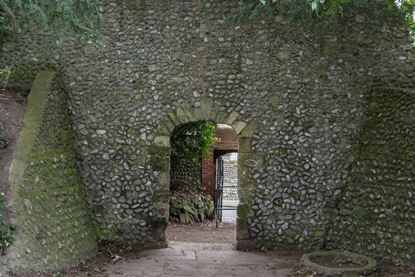
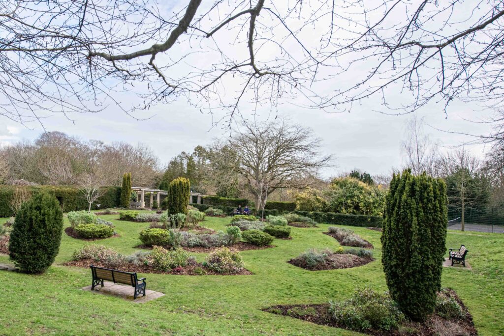
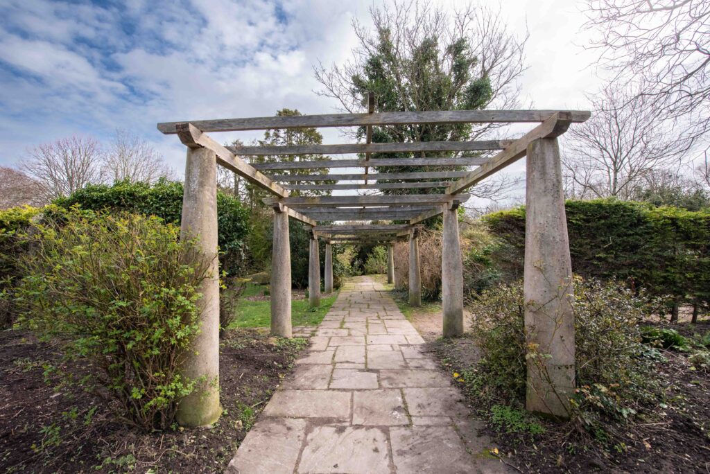
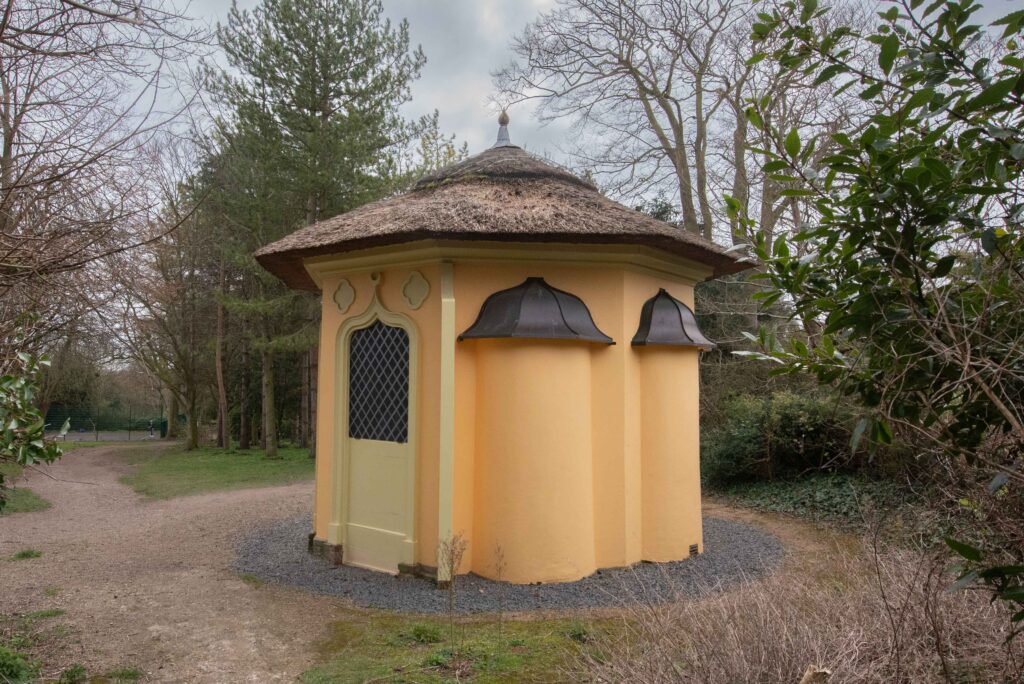
The group assisted the volunteer tasked with researching Manor Gardens to survey and record its physical and visual aspects. Manor Gardens is a complex site with features surviving from the last three centuries to identify, date and describe including an unusual double boundary wall of flint with arched entrances, a summerhouse and gardener’s house – and a horse mound.
Site reports go through several iterations and editing by the volunteer facilitators before being signed off as completed and ready to be sent to the relevant Historic Environment Record. Accompanying maps showing the boundary of the area of designed interest also must be drawn up.
Site reports
Twenty-one reports are now available. To see an individual site report use the ‘click here’ link shown in the text. The reports can be read on screen or downloaded.
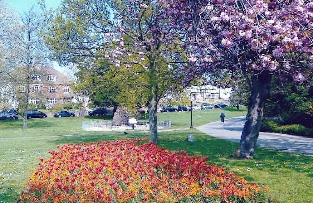 | HOVE PARK Hove Park is a good example of a public park of its time, falling at the very end of the major Victorian period of park provision. Formerly part of the Stanford Estate and used for market gardening and agricultural land, Hove Park covers almost 40 acres and features a mix of large areas of open grass, mature trees, flower beds, sports and play facilities. The park is home to the Goldstone, a roughly 20-ton natural rock in the south-west corner and features a miniature steam railway on its western edge and the Finger Maze public sculpture to the east. To see the full report click here. |
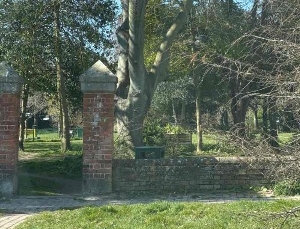 | UPPERTON GARDENS & HARTFIELD SQUARE, EASTBOURNE Late C19 squares representative of Eastbourne’s squares and terraces by the partnership between the Duke of Devonshire and the Gilbert family. Their garden areas were laid out to a typical mid/late C19 design with perimeter trees and serpentine paths. Hartfield Square and its garden remain largely unaltered, but only the southern half of Upperton Gardens survives. To see the full report click here. |
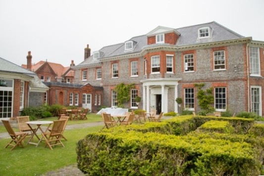 | EASTBOURNE – MANOR GARDENS A good example of extensive domestic gardens associated with their manor house, laid out from the late C18 onwards and with much of the layout and many of the features (including the late C18 Hermitage) surviving into present day public ownership. Although in separate ownership the Manor house is still visually part of its former gardens. To see the full report click here. |
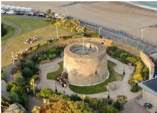 | EASTBOURNE – PEACE GARDEN Constructed by volunteers in the former dry moat of a Martello tower (Wish Tower) located at the western end of Eastbourne. Opened in 2018 as a memorial to the 174 civilians and members of the emergency services who died in WWII, in 2020 it was adopted by Eastbourne Borough Council as a public park. It offers a serene retreat for locals and visitors, providing a stark contrast to the bustling seaside attractions nearby. To see the full report click here. |
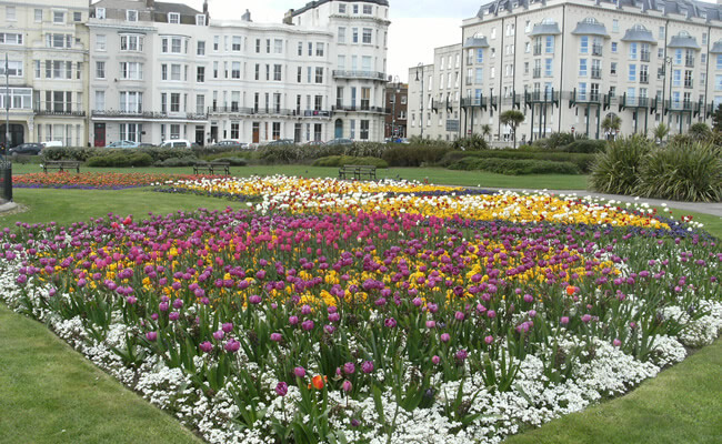 | HASTINGS – WARRIOR SQUARE Comprises 17,300 square metres of green space in central St Leonards divided into three sections and open to sea views. The surrounding terraces, originally part of the Eversfield Estate, were developed for housing from 1833 by James Tropp and completed by a Mr Moreing in 1865 on a site known as Warrior Field. The square and its garden was a focus for social, political and civic activity from the mid C19 and continues to be a popular social space. To see the full report click here. |
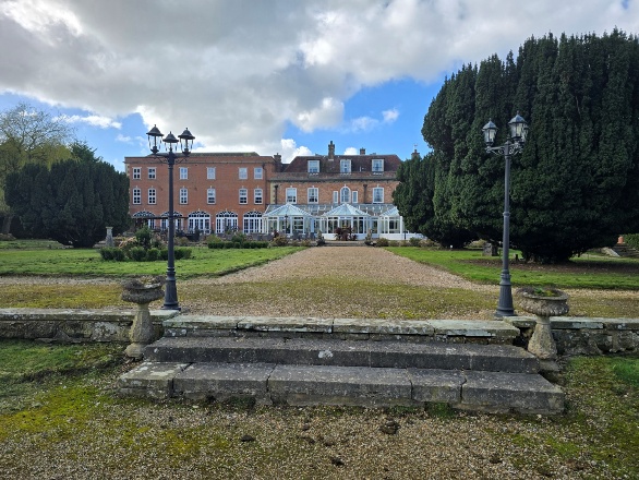 | ST.LEONARDS – BEAUPORT PARK A wooded estate of approximately 800 acres in an elevated area sheltering Hastings from the north and east lying within the boundaries of Battle, Rother and Westfield, East Sussex. The site has a diverse history dating back to at least Roman times but became a designated landscape from 1752 when Brigadier General Sir James Murray bought land to develop a house and estate. The estate is currently divided into several distinct areas and ownerships. To see the full report click here. |
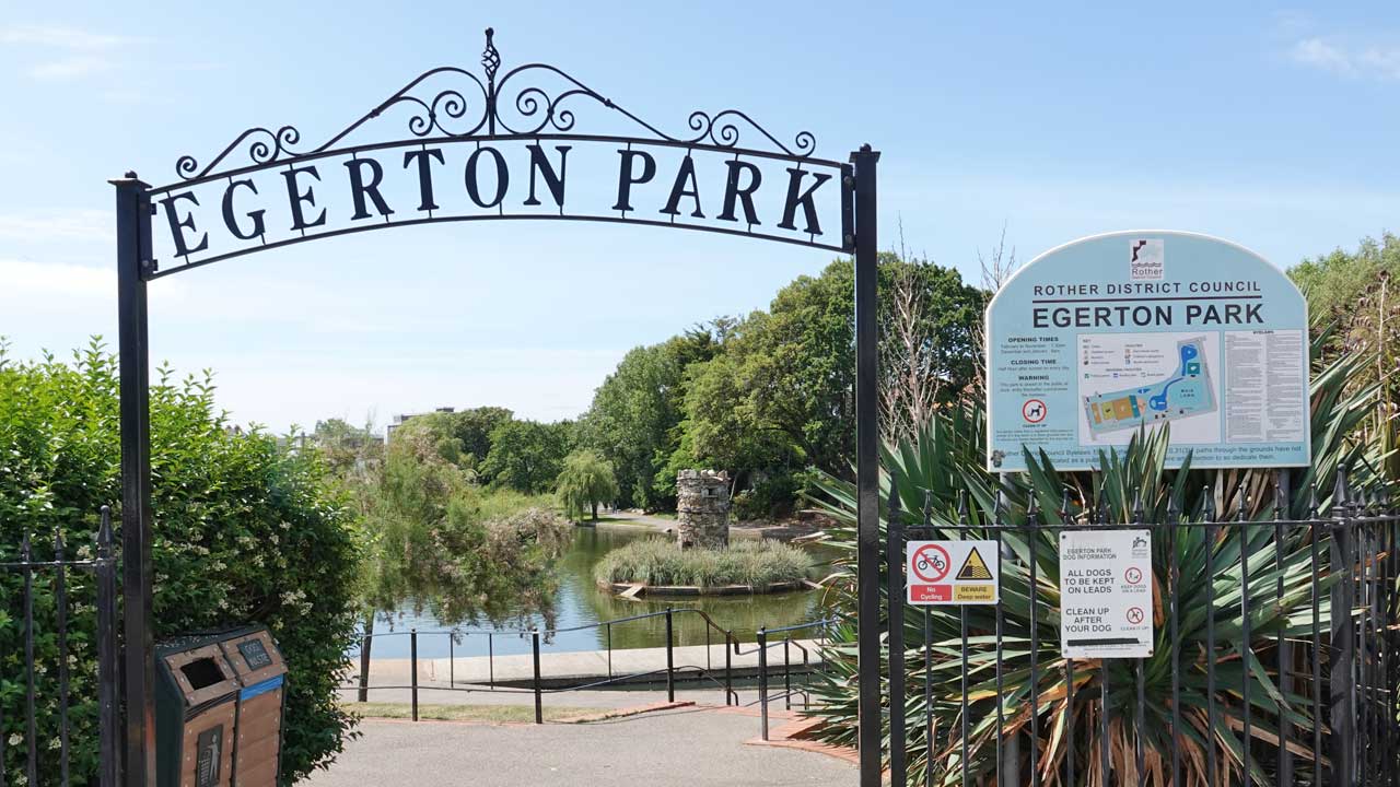 | BEXHILL – EGERTON PARK Bexhill’s only purpose-designed park, Egerton Park was laid out from 1883, its name possibly deriving from the Egerton family who were related through marriage to the Earls De La Warr, the original land owners. To see the full report click here. |
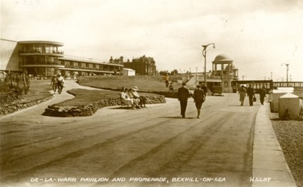 | BEXHILL – SEAFRONT GARDENS Three garden areas which form a connecting ribbon of green along the seafront represent three different periods in Bexhill’s history. To see the full report click here. |
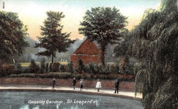 | HASTINGS – GENSING GARDENS Ornamental gardens laid out c1870 to designs by Hastings Corporation’s Borough Surveyor on Eversfield estate land, on which so much of late C19 Hastings was built. To see the full report click here. |
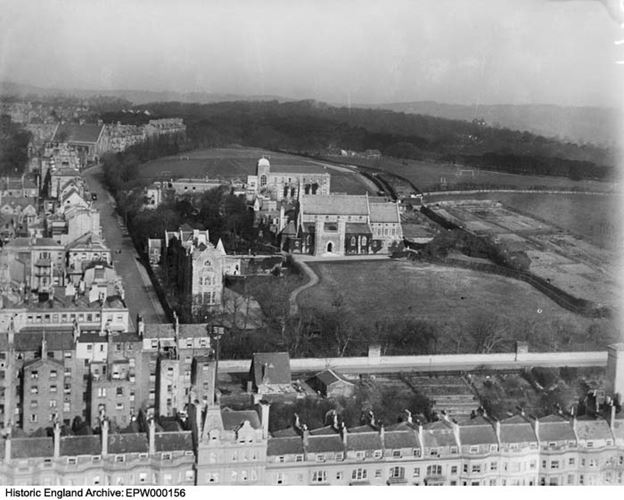 | HASTINGS – HOLY CHILD CONVENT The grounds include surviving mid C19 terraced gardens, a nun’s cemetery, light woodland, a perimeter walk, and extensive recreational grounds. To see the full report click here. |
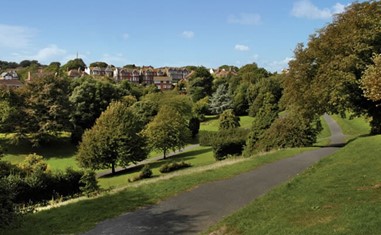 | HASTINGS – LINTON GARDENS In Hastings Corporation’s ownership since 1937, Linton Gardens were originally laid out between 1899 and 1910 as subscription gardens for the new residents of the Cornwallis Estate’s housing development. To see the full report click here. |
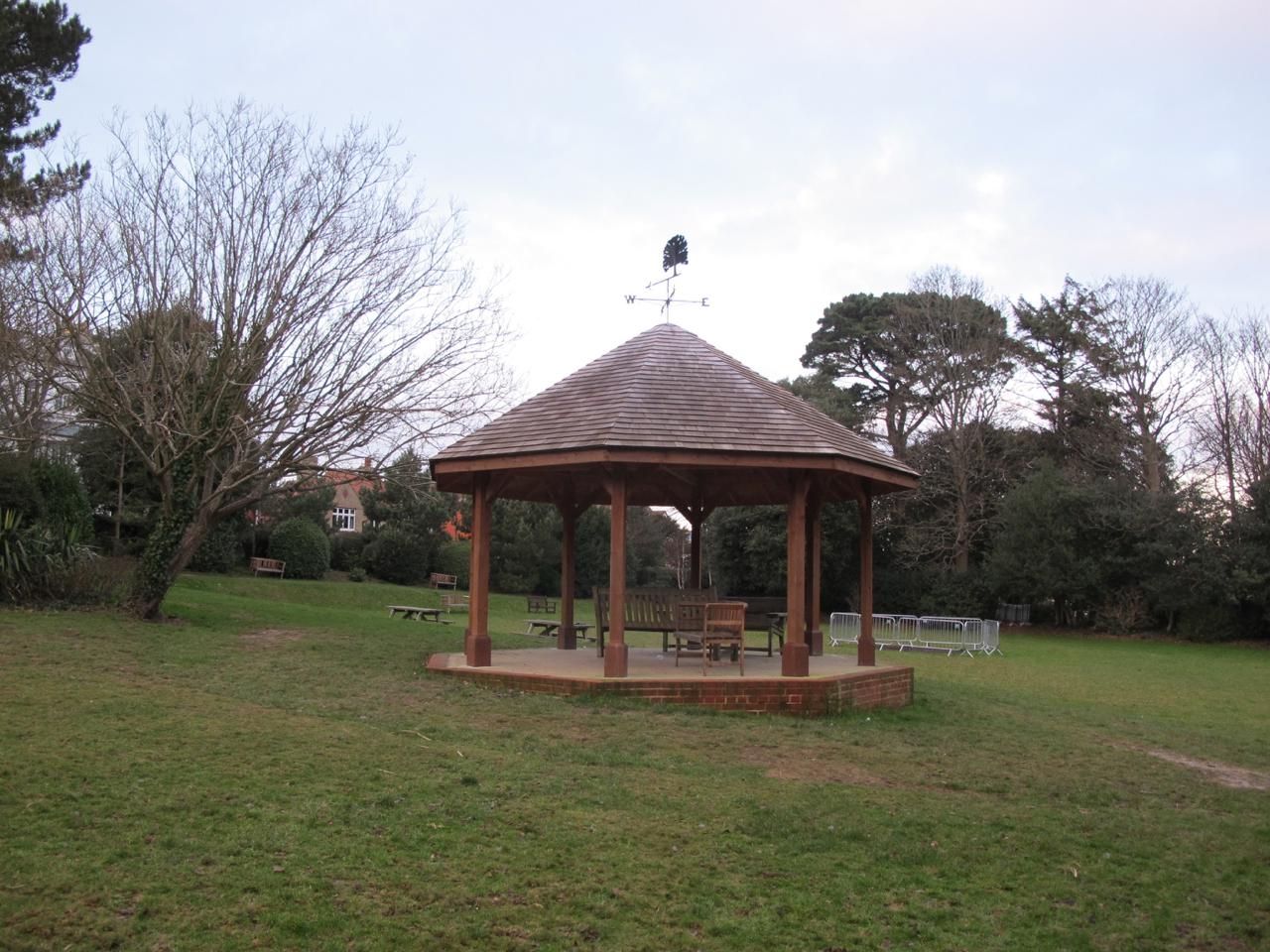 | HASTINGS – MARKWICK GARDENS Markwick Gardens are the only surviving subscription gardens in Hastings that remain in private hands with access limited to householders who still pay a subscription. To see the full report click here. |
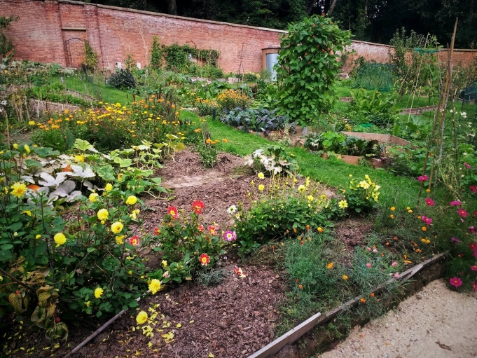 | HASTINGS – SUMMERFIELDS The site, threaded by a stream, pools and serpentine paths and containing a ‘Roman’ bath-house (listed grade II) and a walled garden, forms the surviving remnant of an early C19 ornamentally-designed estate landscape. To see the full report click here. |
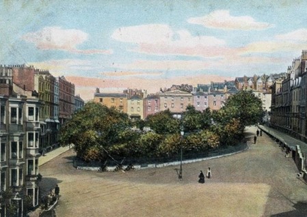 | HASTINGS – WELLINGTON SQUARE Wellington Square is the first and oldest designed, private subscription garden to be laid out in Hastings. Its terraces were begun in 1815 as a speculative development funded by a local banking firm. To see the full report click here. |
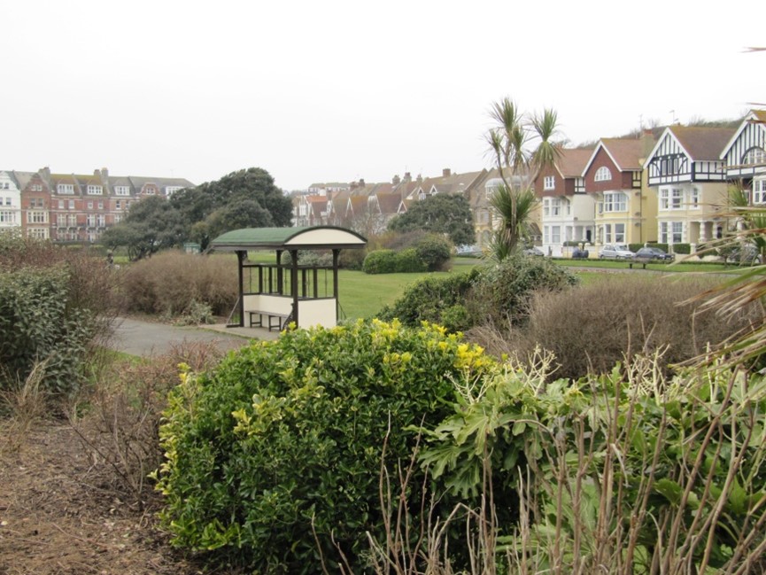 | HASTINGS – WEST MARINA GARDENS Making use of land newly-raised for coastal defence by spoil from railway tunneling and a new sea wall, the construction provided essential work for unemployed labour in the late C19. To see the full report click here. |
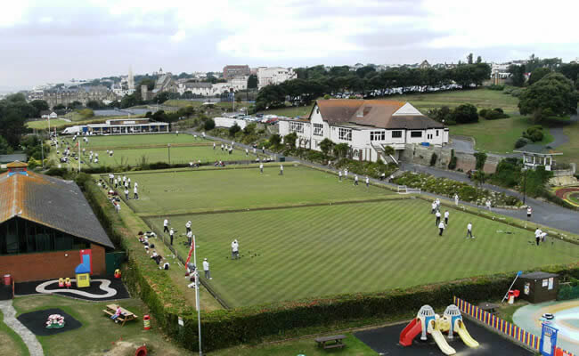 | HASTINGS – WHITE ROCK PLEASURE GROUNDS White Rock Pleasure Grounds represent Hastings’ prime example of a surviving early C20 public pleasure ground, which conserves its original 100 year old layout of terraces and entrances and which still serves a similar purpose. To see the full report click here. |
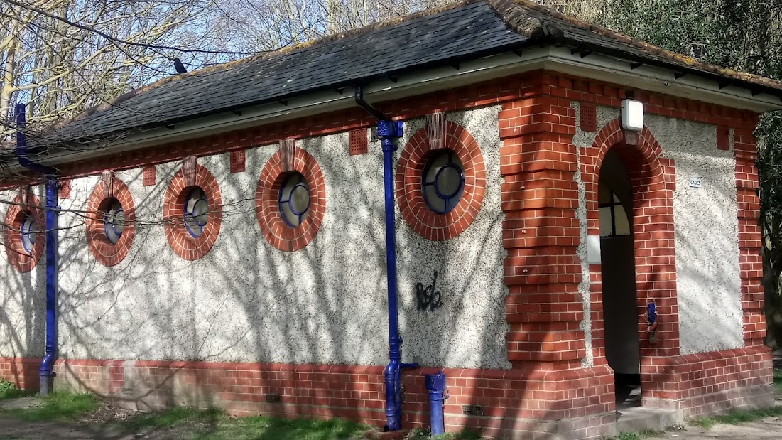 | EASTBOURNE – GILDREDGE PARK An early C20 park, the result of one of several Eastbourne Corporation purchases from long-established local landowning families, to provide recreation facilities and protect the Old Town from encroaching development. To see the full report click here. |
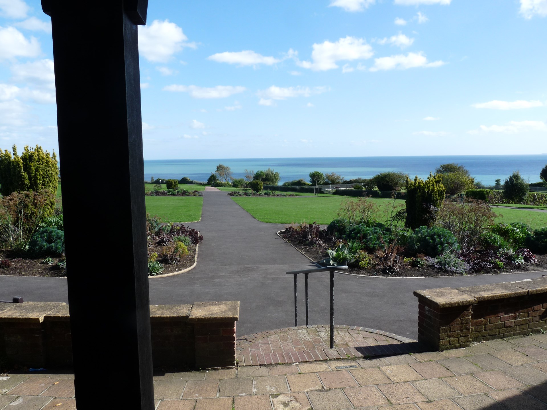 | EASTBOURNE – HELEN GARDEN Helen Garden is a 1930s municipal park laid out for tennis and bowls, lawns for informal recreation, and ornamental planting. To see the full report click here. |
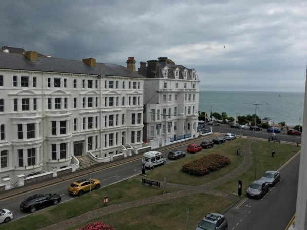 | EASTBOURNE – HOWARD SQUARE Comprising a simple rectangular lawned space open to sea views at the southern end and quartered by paths, the square’s surrounding terraces were developed as one of many joint enterprises in the town of the Cavendish and Gilbert families. To see the full report click here. |
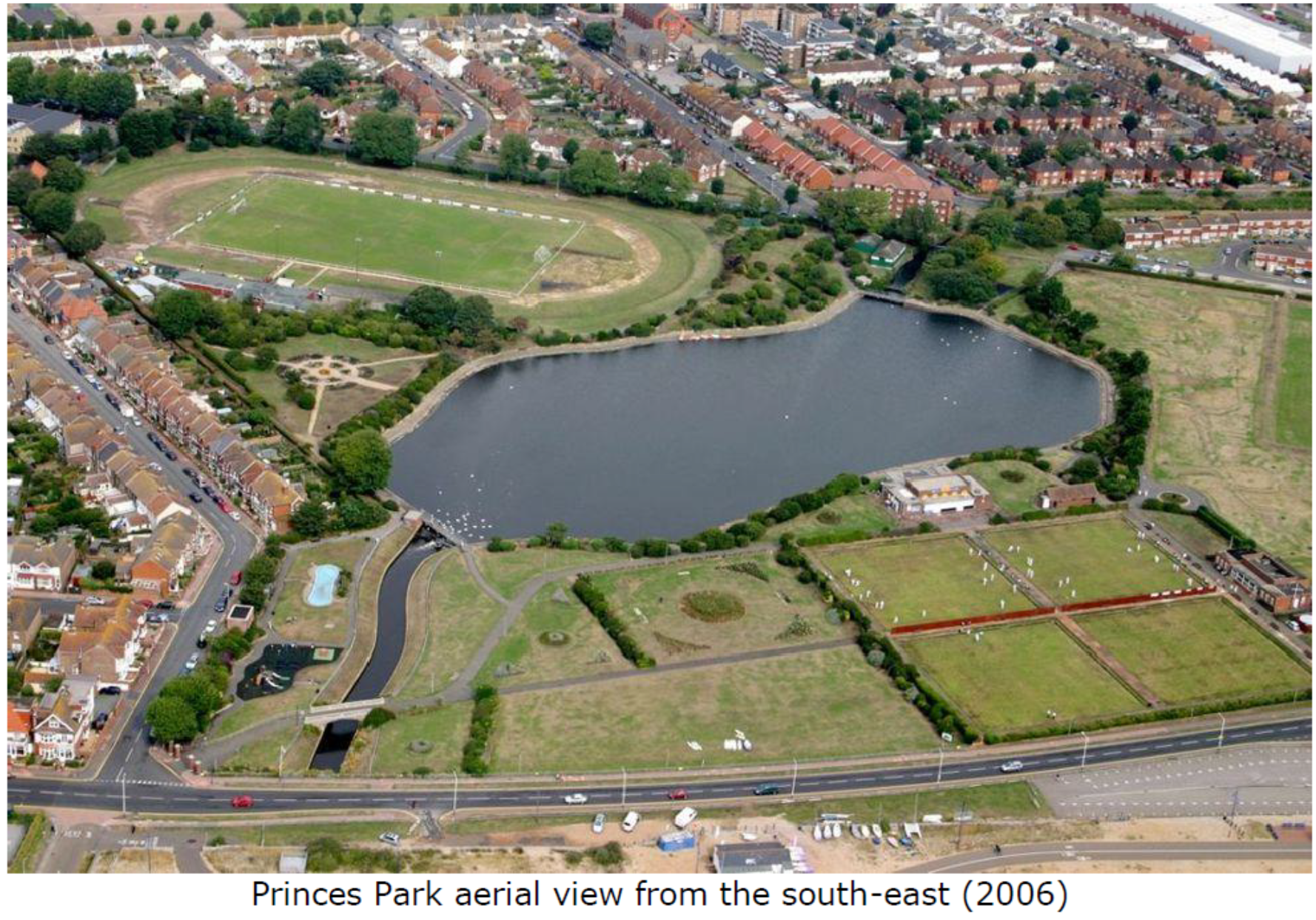 | EASTBOURNE – PRINCES PARK Princes Park is an early C20 park laid out by Eastbourne Council on reclaimed ground formerly part of the Crumbles, an extensive area of shingle deposits lying between the current high-water bank and the marshes inland. To see the full report click here. |
 | EASTBOURNE – THE ITALIAN GARDENS An almost intact example of an Italianate-style pleasure garden typical of layouts created in the interwar period by municipal parks departments throughout the country, particularly in seaside resorts, using unemployed labour. To see the full report click here. |
Would you like to join us?
No previous experience is necessary – we offer training and support for all our volunteers. We meet regularly on site, in local archive offices or in other venues to learn more, to share experiences and to provide mutual support.
There is complete flexibility as to the amount of time that a volunteer gives. We understand the demands of work, family and other commitments and only ask volunteers to contribute as much as they feel able. We also understand that some people would rather do desk research than record sites – and vice-versa.
As well as site visits we also meet in local archive offices and local history centres to discuss ways of doing desk research and finding suitable archival materials – plus, of course, checking out actual maps and archived documents. Handling a two-hundred year old document is very exciting.
If you are interested in joining our research group, do get in touch, we would love to hear from you.
Banner Photograph: The Cascade Bridge and Lower Woman’s Way Pond at Sheffield Park ©National Trust Images/Andrew Butler